
Different ways to divide up the geologic record:
Of these, lithostratigraphy is the easiest to work out, and so is the oldest of these systems developed and the most immediately useful in the field.
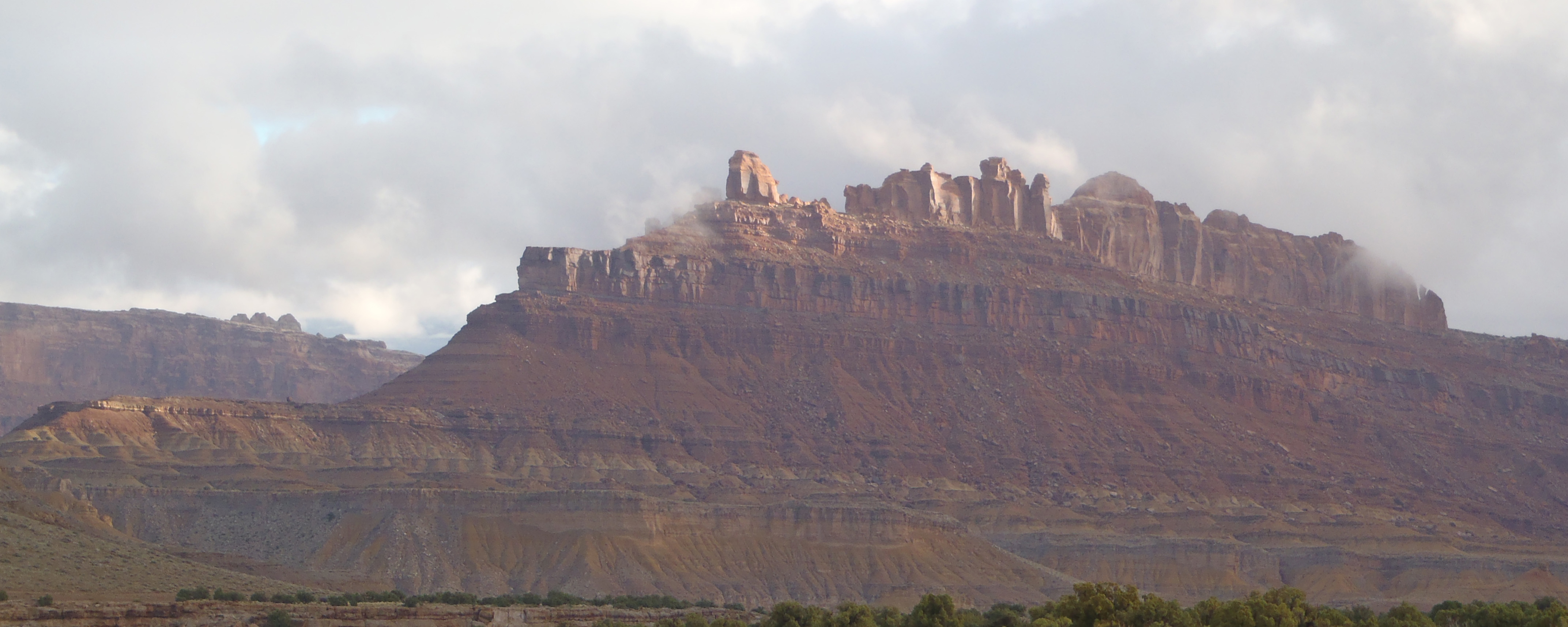
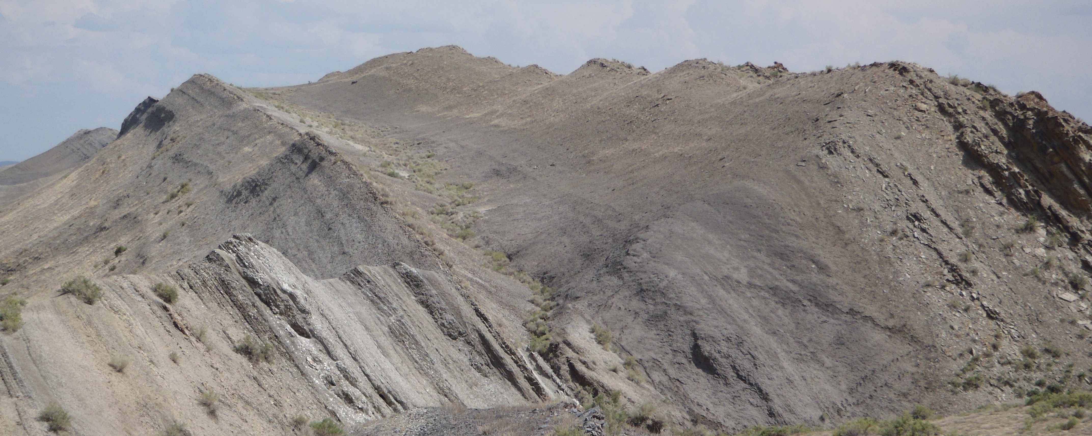
The basic unit is lithostratigraphy is the Formation: a mappable rock unit with distinct upper and lower boundaries. It will often represent a single depositional setting, and thus a single rock type or set of related facies.
Formations must:
Formation grammar:
Laterally continuous distinct strata within a formation can be formally named members. A member is smaller than its containing formation, and might be too thin to be mappable. Example: the Brushy Basin Member of the Morrison Formation
Several stratigraphically continuous formations can be combined into a formal Group. Example: the Belly River Group, comprised of the Foremost, Oldman, and Dinosaur Park Formations. Groups are occasionally combined into a Supergroup.
For many decades, boundaries between formations were thought to be isochronous (represent the same time everywhere). Later biostratigraphic, event stratigraphy, and radiometric dating show that many lithological boundaries (because they represent changes in environmental settings) are actually diachronous (represent different times at different places).
For example, the boundaries between a beach sand, lagoonal mud, and carbonate bank depositional setting will migrate inland during a transgression. The lithostratigraphic boundaries are between each environment (sandstone, shale, limestone), but the time boundary will cut across the lithological boundaries.
To Lecture Notes.