
2010 Department Field Trip
- 1
- 2
- 3
- 4
- 5
- 6
- 7
- 8
- 9
- 10
- 11
- 12
- 13
- 14
- 15
- 16
- 17
- 18
- 19
- 20
- 21
- 22
- 23
- 24
- 25
- 26
- 27
- 28
- 29
- 30
- 31
- 32
- 33
- 34
- 35
- 36
- 37
- 38
- 39
- 40
- 41
- 42
- 43
- 44
- 45
- 46
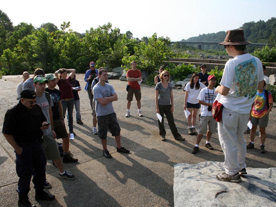
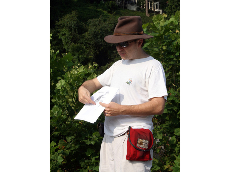
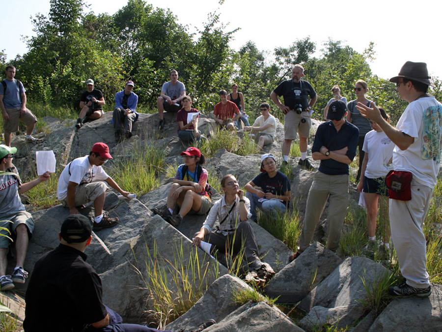
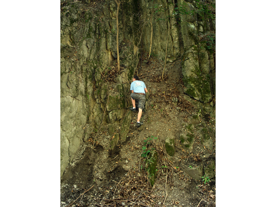
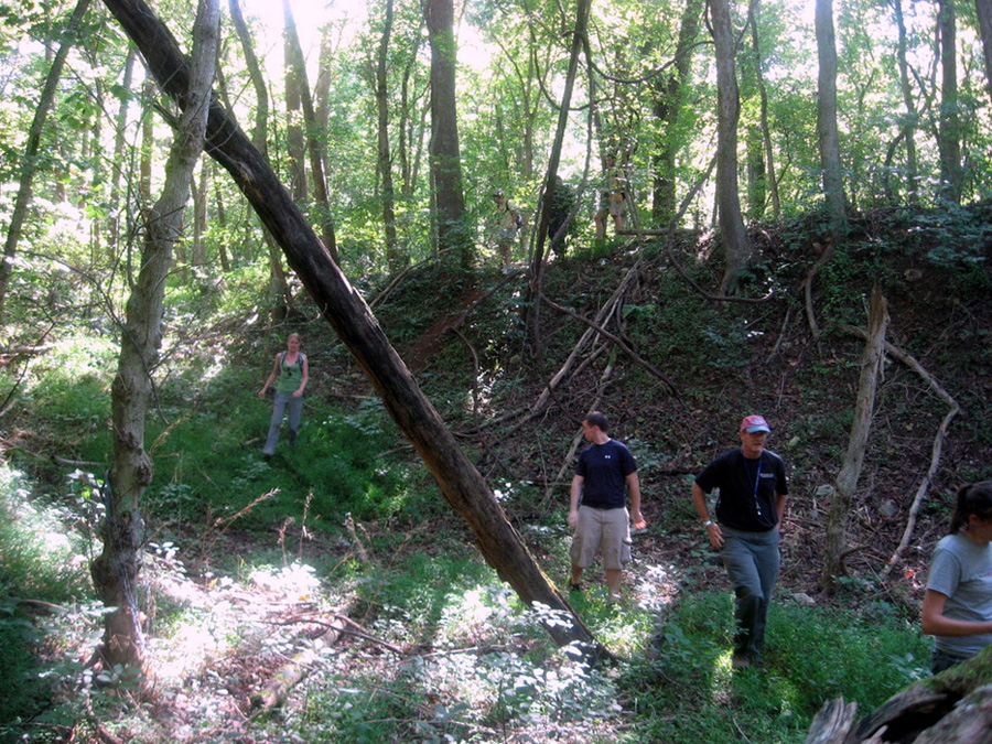
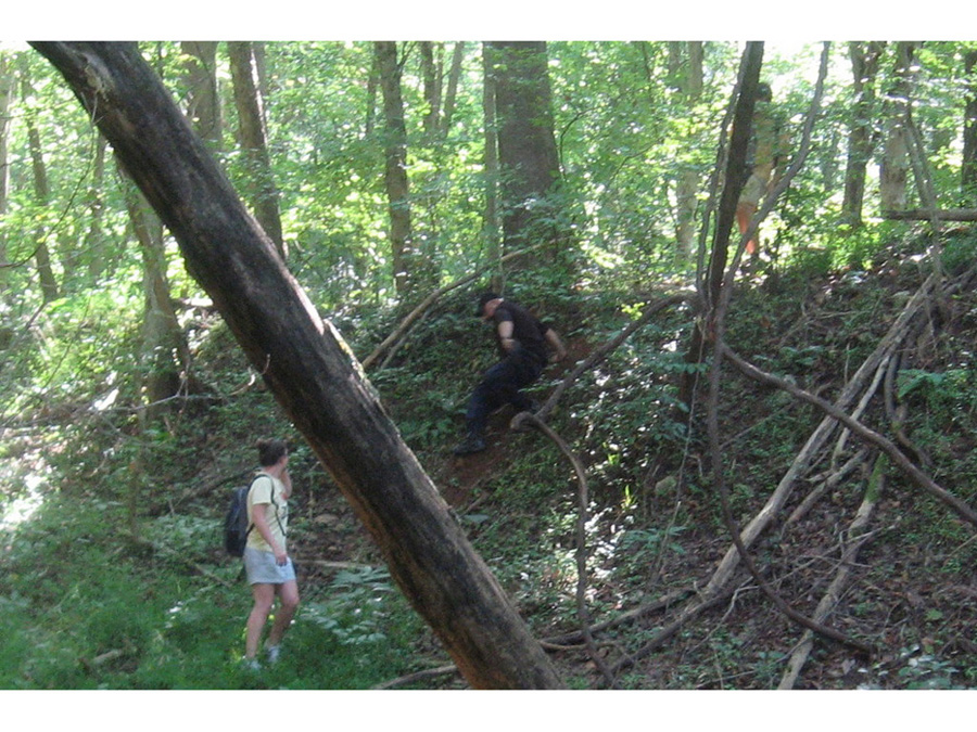
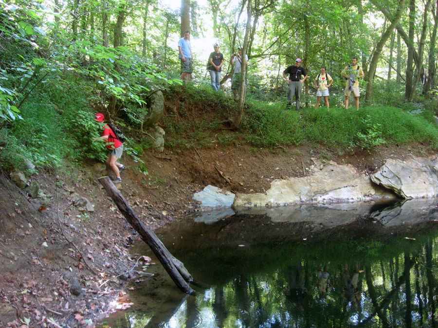
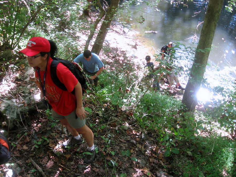
On Saturday and Sunday the 28th and 29th of August, faculty (led by Prof. and Interim Graduate Director Jay Kaufman) and graduate students from the Geology Department at the University of Maryland, College Park went on a field trip to geological sites in Maryland and northern Virginia. The weather was clear and sunny throughout the trip, albeit a bit hot at times. Participants included: (faculty) Phil Candela, Jay Kaufman, Aaron Martin, John Merck, and Rich Walker, and (students) Daniel Eldridge, Miriam Galenas, Nick Gava, Andrew Gonyo, Yu Huang, Brittany Jenner, Jingao Liu, Xiaoming Liu, Michael Mengason, Kristen Miller, Kevin Miller, Sara Peek, Tommy Tamarkin, Emily Worsham, and Chris Yakymchuk. A visiting graduate student from the University of Aukland in New Zealand, Abbie Dean, also joined the field party. After assembling the field guide in the parking lot behind the Geology Building, the crew loaded into three 12 passenger university vans provided by the department and headed off into the muggy wilderness.
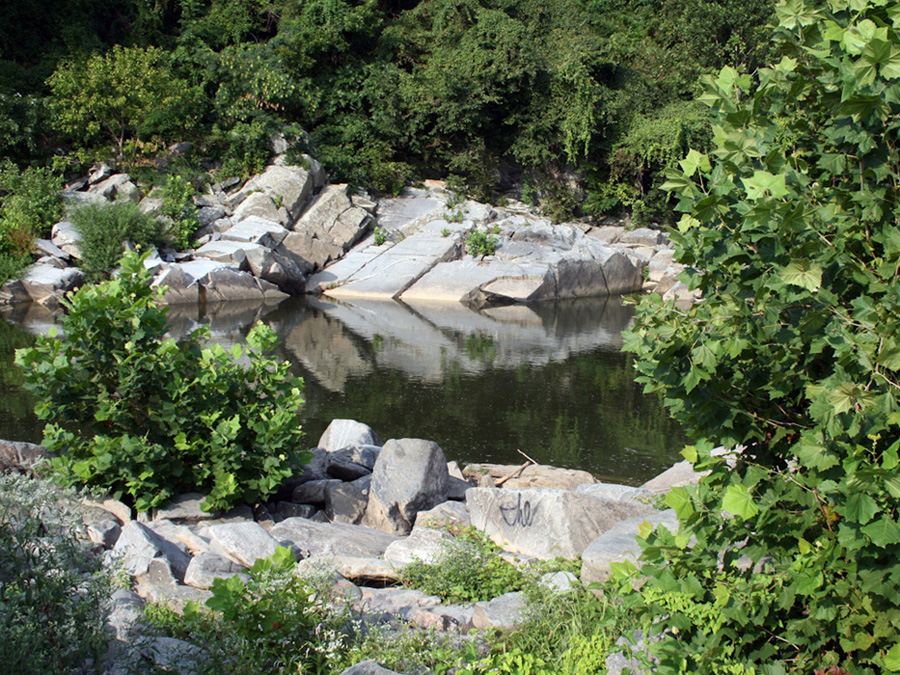
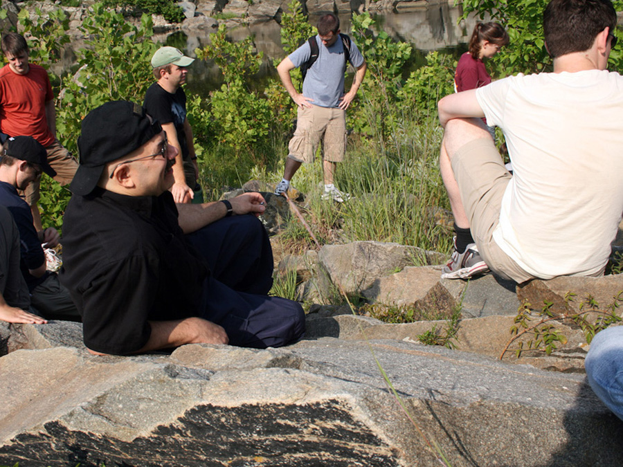
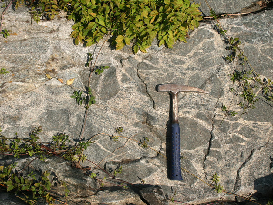
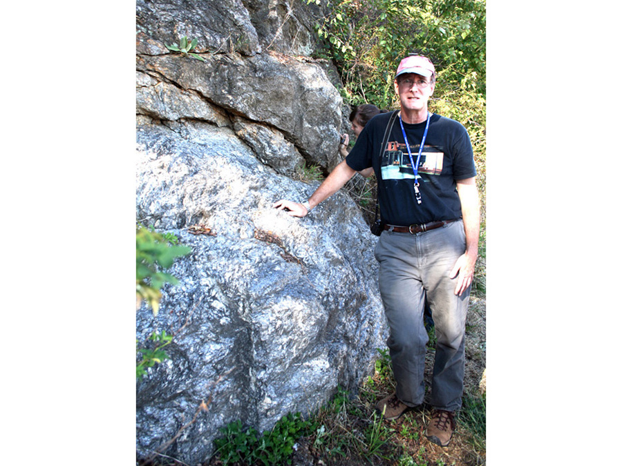
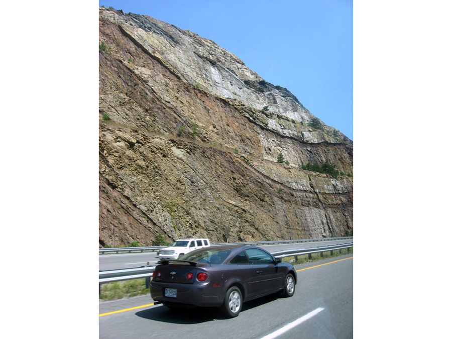
Our first stop (led by Asst. Prof. Aaron Martin) was at the Sykesville Formation in southwestern Washington D.C. along the scenic Potomac River just below Chain Bridge. Sykesville and related rocks in Maryland have been interpreted in many different ways over the decades. Perhaps the most well known interpretation is that they are meta-sedimentary rocks deposited in an oceanic trench in front of an active magmatic arc. These rocks received detritus from the arc and also from mass-wasting of rocks bordering the trench, and were intruded by mafic and felsic arc magmas. A more recent view is that most of the Sykesville and related rocks are metavolcanic, with subordinate metaclastic and intrusive rocks. The modern model for the volcanic rocks in this interpretation is an ignimbrite deposit. We viewed excellent 3-D exposures of the formation and observed features relevant to discriminating between these interpretations. We also will discuss the results of recent microscopic observations and detrital zircon U/Pb isotopic dating by former UMD Geology senior thesis student Steven Fisher.
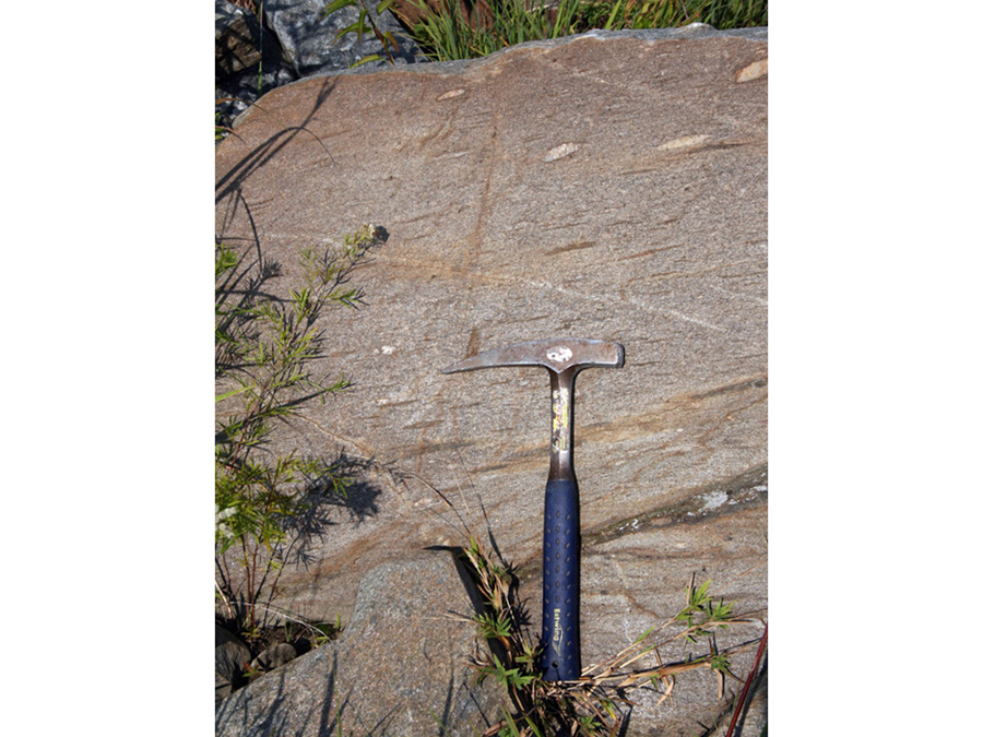
The second stop was at the Ellicott City Granodiorite (led by Prof. Richard Walker). The Ellicott City Granodiorite is a rare, magmatic epidote-bearing granodiorite. This rock is particularly interesting because it occurs in texturally different forms within a short walk. It is one manifestation of continental accretion resulting from the closure of the Iapetus ocean. The closure of the Iapetus ocean also resulted in the formation of an island arc complex (termed by some, the Taconic Island Arc) off the eastern coast of the proto North America, beginning at about 540 Ma. During this period, the Iapetus oceanic continued to narrow and oceanic lithosphere subducted under the Taconic Island Arc until about 460 Ma. At this time, the Taconic Island Arc became accreted to the existing North American continent. The collisional event between the island arc complex and proto North America has been termed the “Taconic Orogeny”. The Ellicott City granodiorite formed as a result of this event at approximately 435+15 Ma, based on U-Pb dating of zircon. The units is either syn- or post-tectonic. The Ellicott City granodiorite is an unusual rock in that it contains magmatic epidote (a pistachio green mineral in hand sample, in addition to ample amphibole), a mineral that only forms at relatively high pressures (for crustal rocks). Zen & Hammarstrom (Geology; 1984) report that textural and chemical evidence indicates that magmatic epidote crystallizes as a relatively late magmatic mineral that may form via reaction with hornblende in the presence of a melt phase. Experimental data for the stability of magmatic epidote suggests that pressures in excess of 5 kbar are necessary for its formation. Thus, plutonic rocks bearing magmatic epidote, like the ECG, must have formed under moderately high pressures, corresponding to lower crustal depths (~20-30 km).
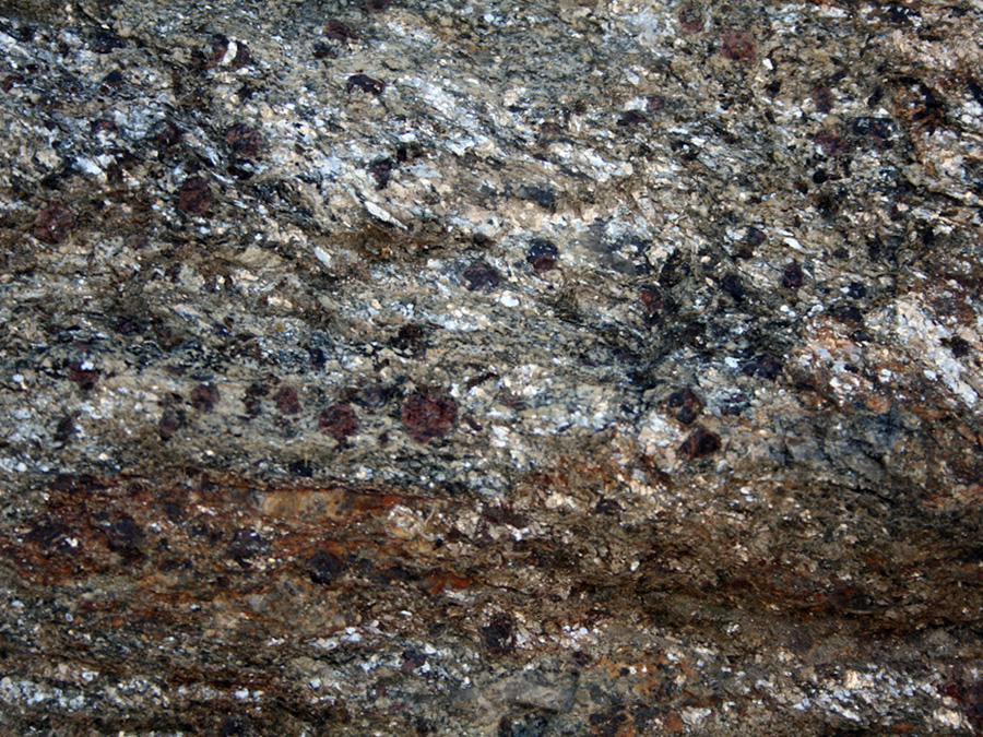
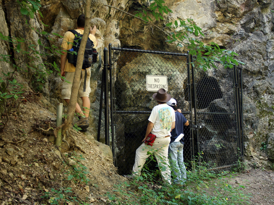
We visited the Mineral Hill Mine (led by Prof. Phil Candela) at the Liberty Reservoir near Baltimore as the third stop of the day. The rocks of this region form an assemblage of upper greenschist to lower amphibolite facies metasedimentary rocks with intercalated mafic and ultramafic rocks. These rocks are part of the Liberty Complex. The Mineral Hill assemblage is believed to be part of an accretionary wedge fronting an east-facing volcanic arc during the Cambrian. The mafic and ultramafic rocks likely represent small portions of oceanic lithosphere now preserved in the rocks that represent the accretionary event. The original Mineral Hill mine was developed in magnetite-quartz rock that is everywhere in contact with ultramafic rocks that were present on the seafloor. Some chlorite-, amphibole- and talc-bearing assemblages represent metasomatic blackwall zones. Minerals found at the site include chalcopyrite, pyrite, sphalerite and cobalt-copper-nickel sulfides. These minerals were likely generated by way of an exhalative seafloor-seawater interaction. Mineral Hill is part of the Sykesville Mining district which included the Carroll, Springfield and Patapsco mines.
The fourth and last stop on Saturday was at the Hunt Valley Mall where we saw Setters Formation pelites and Cockeysville Marble (led by Prof. Rich Walker). The magnificent schist exposed at the parking lot contains abundant garnet of varying size as well as staurolite and also contains occasional kyanite. The Cockeysville Marble is famous as the building stone for the lower half of the Washington Monument on the National Mall. The marble came from quarries in the Piedmont province at Cockeysville and Texas, Md., just north of Baltimore. The marble at Cockeysville is fine grained and contains significant amounts of magnesium. It is a clear white stone with a few pale streaks or bands, which give an effect of pale gray. The marble from the Texas quarry is white and coarser grained and is nearly pure calcium carbonate. Some specimens of both marbles contain veins and pockets of mica and pyrite.
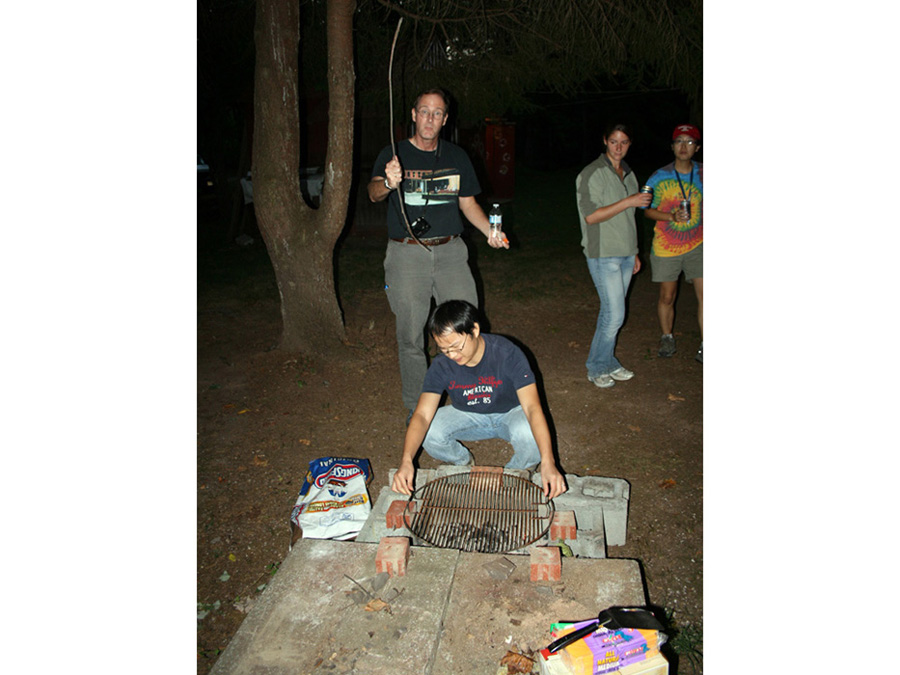
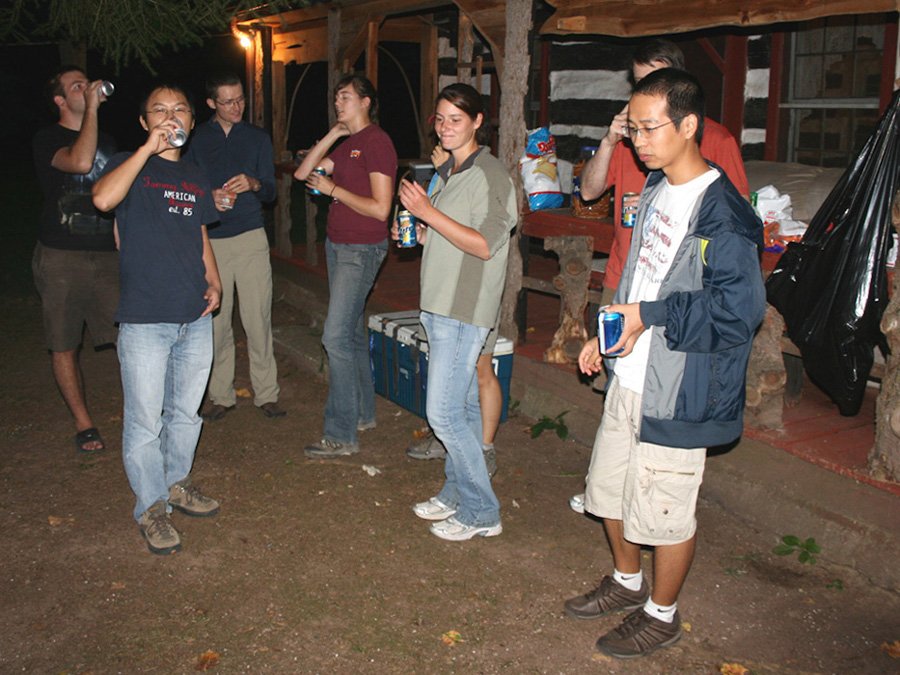
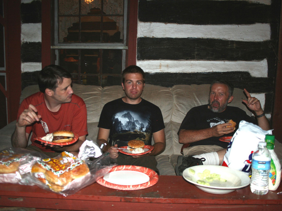
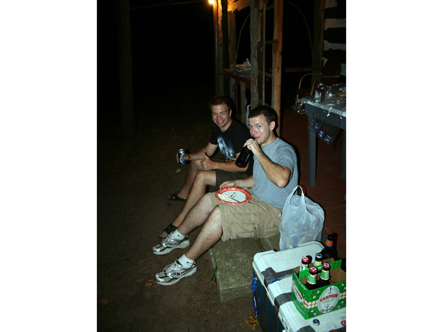
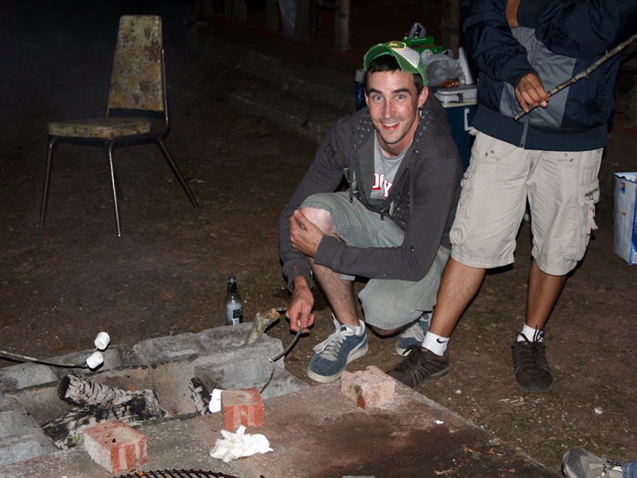
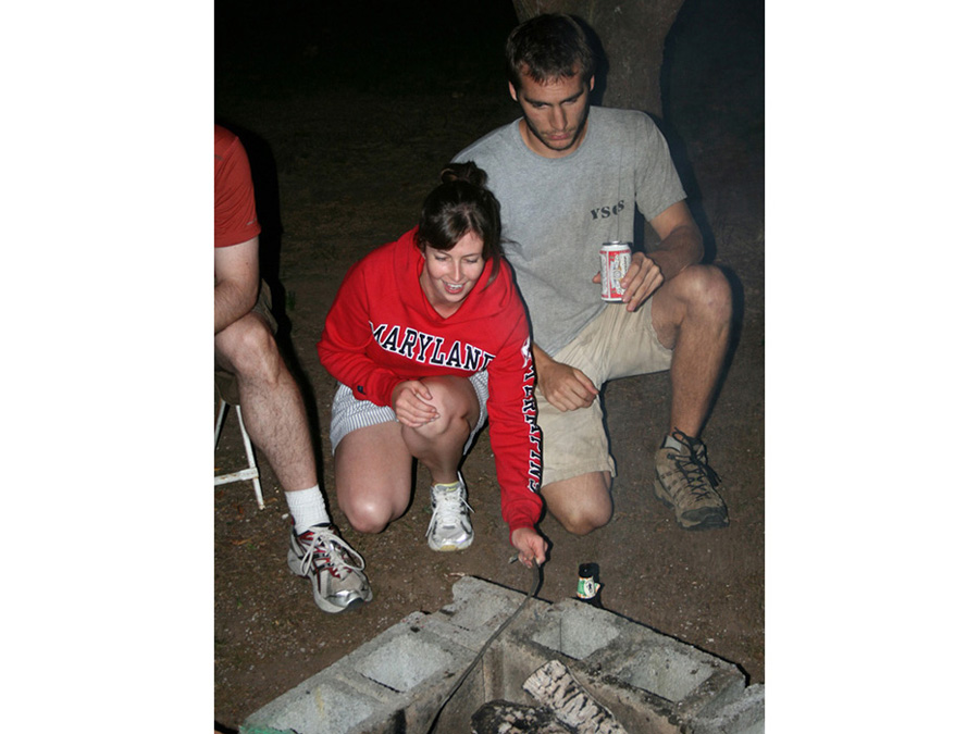
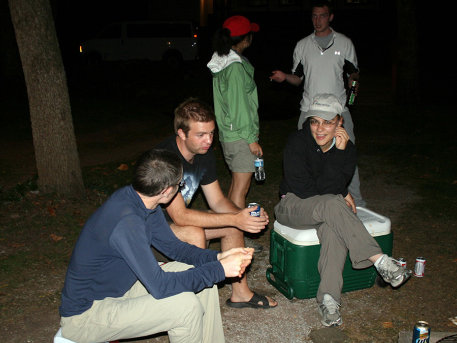
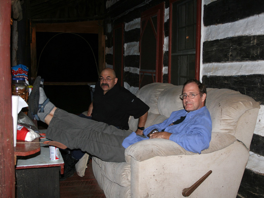
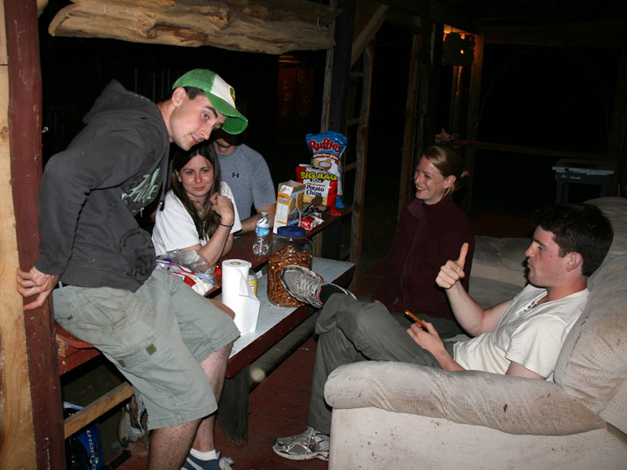
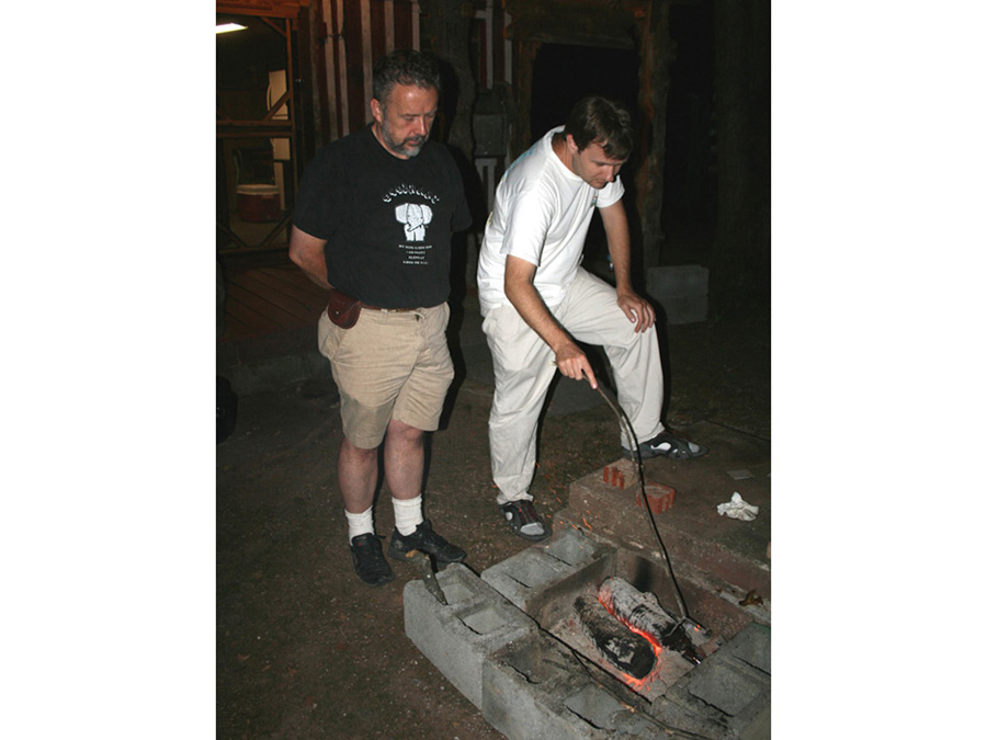
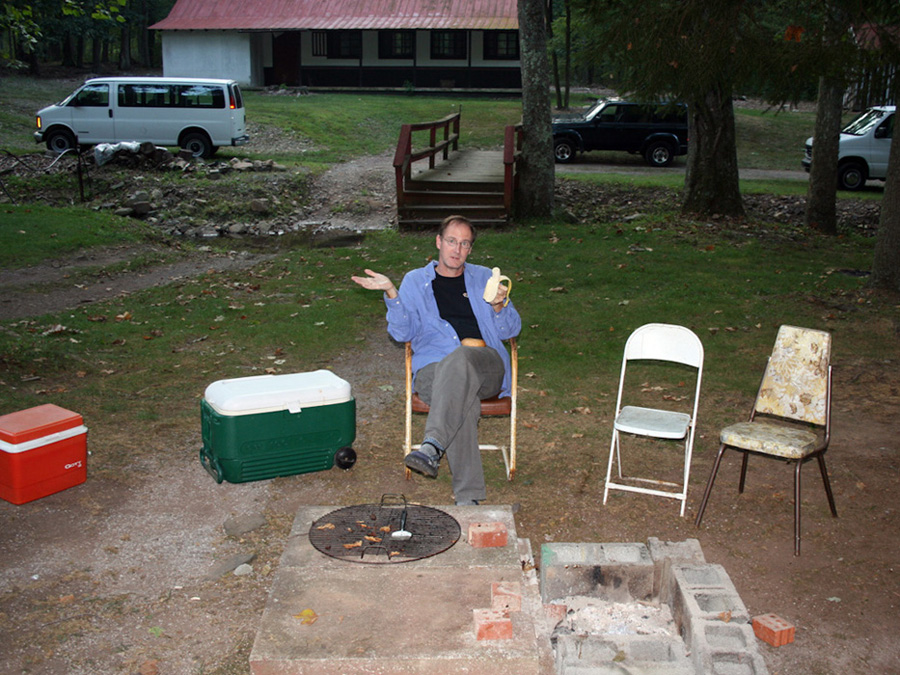
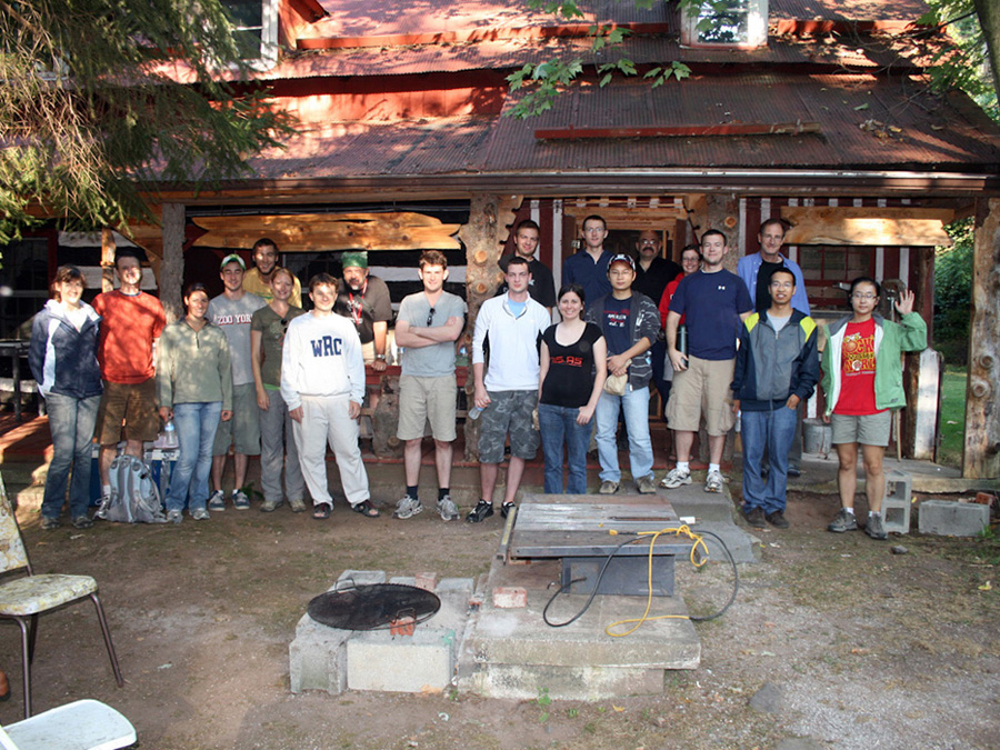
After this stop we travelled west to the rustic Johns Hopkins field camp (Camp Singewald) near Clearspring, MD. We arrived around 7 p.m. and were awed by the facility, which included several cabins with bunks, a lecture facility, and hog barn. We quickly lit the grill and Prof. Walker cooked hamburgers (as well as Vegan tofu burgers) while John Merck set up the fixings and appetizers for the hungry masses and frosty beverages were consumed. The party (for some) stretched on into the wee hours of the morning.
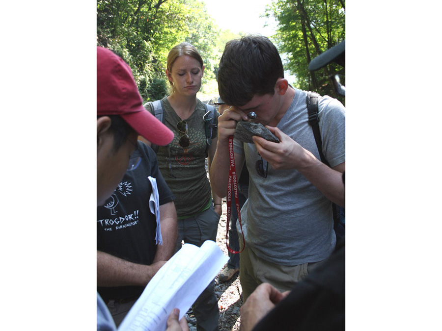
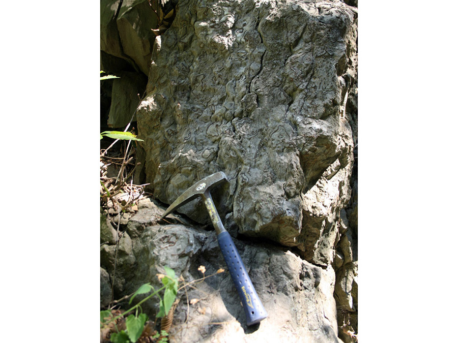
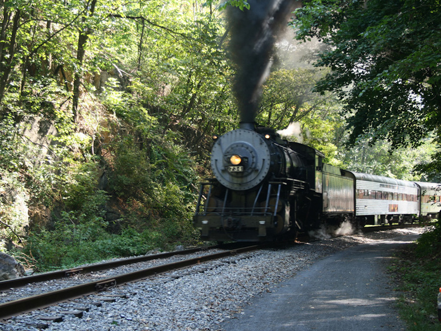
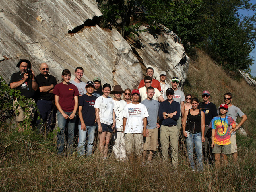
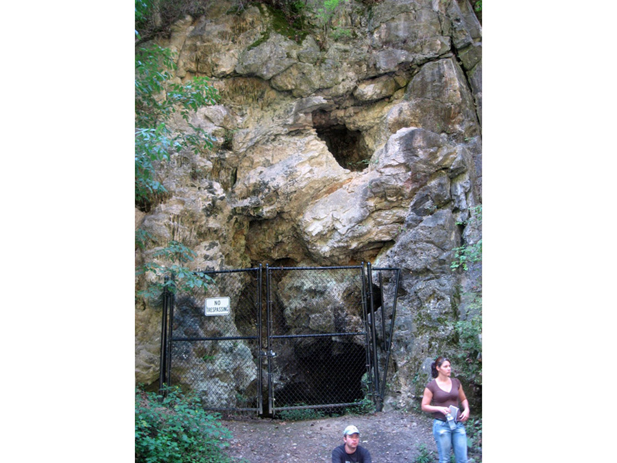
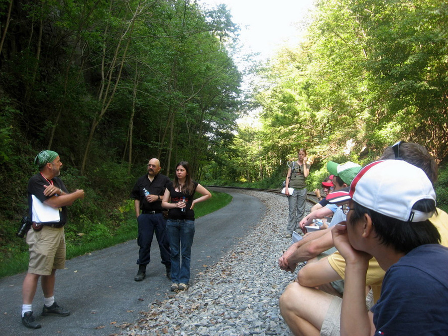
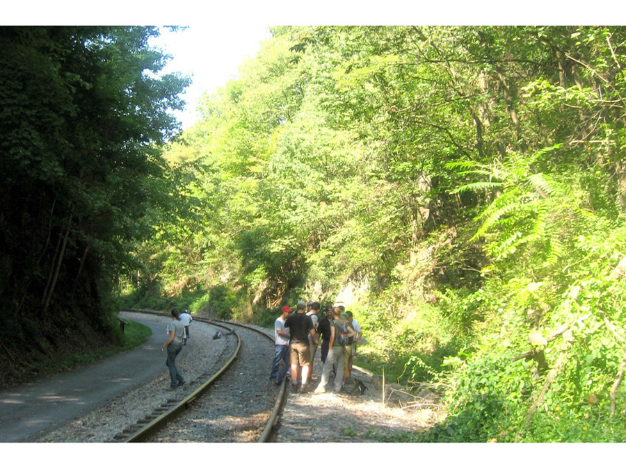
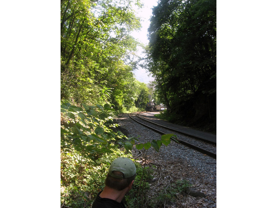
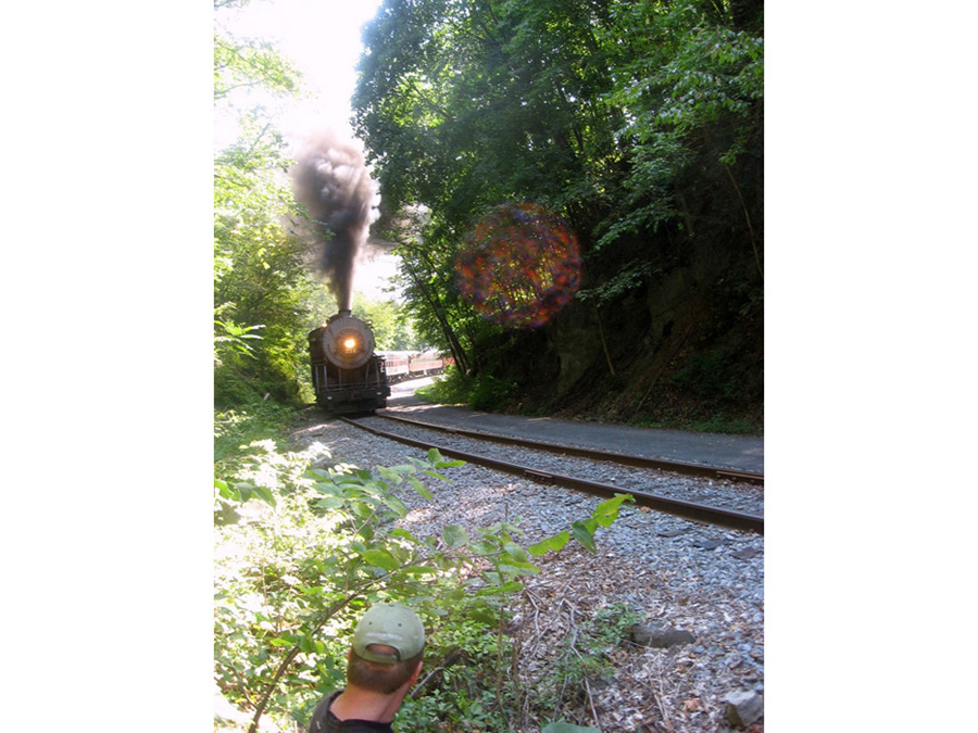
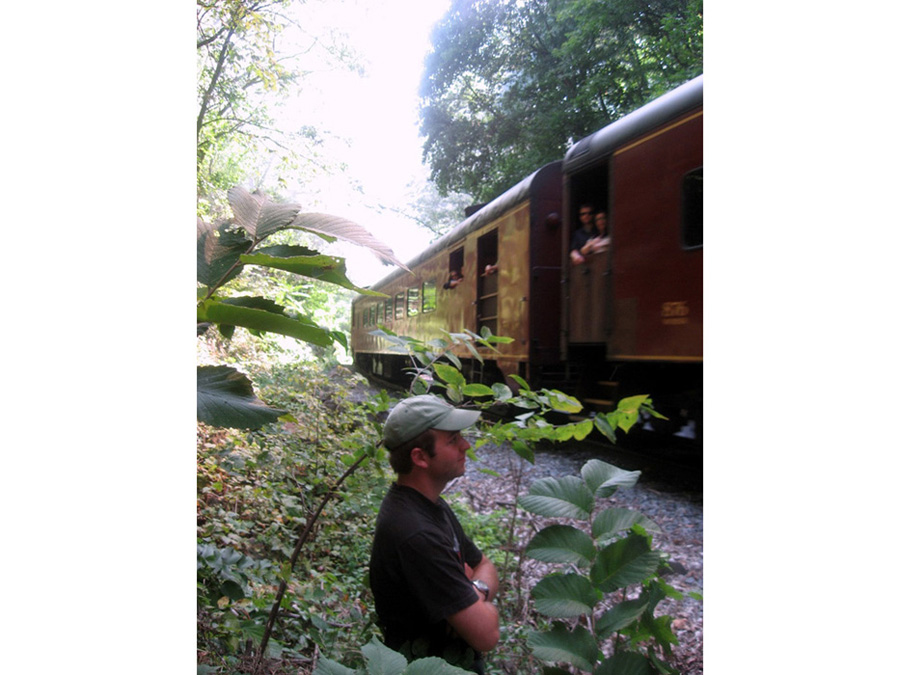
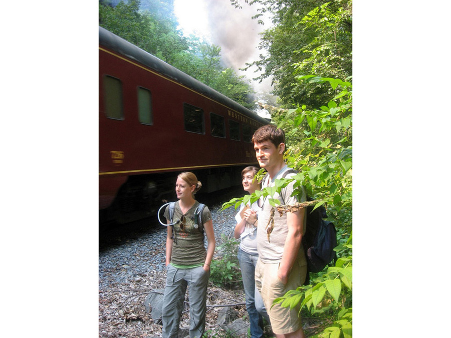
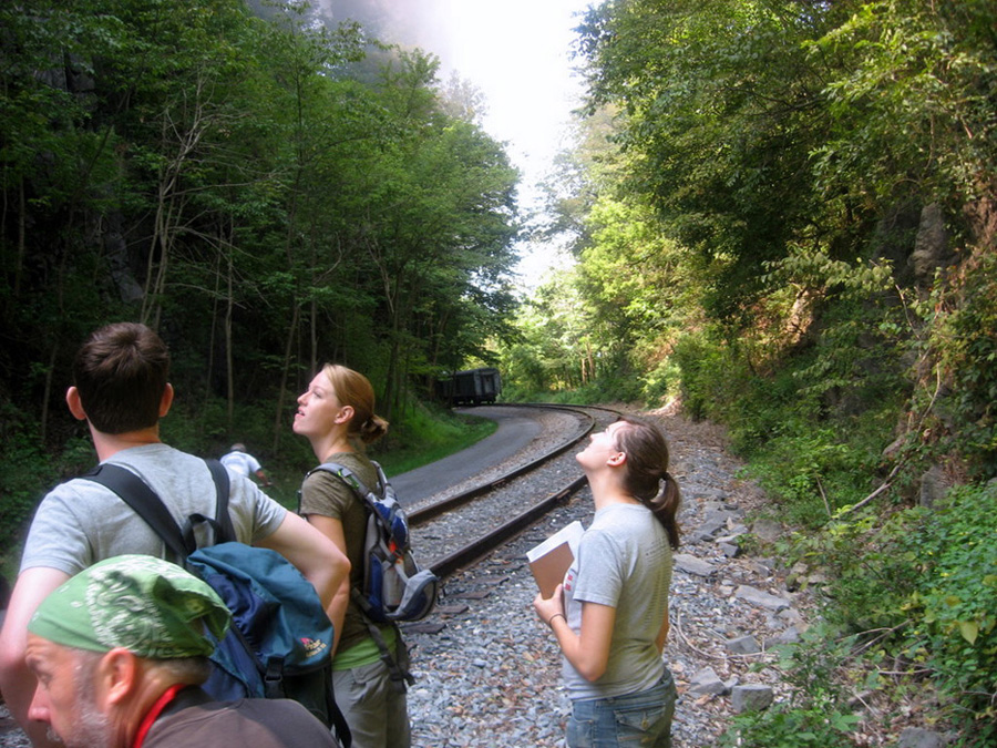
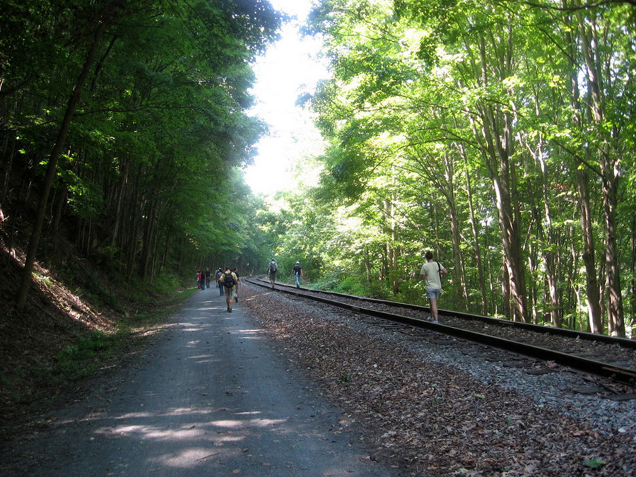
Following breakfast and a group photo the following morning we rolled out of Camp Singewald around 9:00 a.m. and made our way west along I-70 and I-68 to La Vale, MD to visit the Keyser Limestone (led by Dr. John Merck). The Keyser is the lowest formation of the Late Silurian to Early Devonian Helderberg Group, representing stable platform deposits that accumulated between the Taconic and Acadian orogenies. The Silurian-Devonian boundary occurs near the top of the Keyser Formation. This unit represents a range of shallow marine carbonate environments from open shelf to lagoonal facies, with stromatoporoid patch reefs. Recent work by former UMD Geology senior thesis student Peter Skold indicates that the Cumberland Bone Cave outcrop represents a regressive sequence. The Keyser limestone also hosts the Cumberland Bone Cave, the result of Pleistocene karsting. The cave is lined with flowstone and, upon its discovery, was found to contain highly fossiliferous fill. Its fossil fauna is roughly 800,000 years old (Irvingtonian NALMA) and contains a broad range of vertebrate and arthropod taxa. Mammal fossils from this locality include the relatively complete remains of Miracinonyx inexpectatus, the North American cheetah. We observed the regressive shallow marine sequence of nodular-bedded carbonates exposed along the 60 m of the railroad cut. While there a coal-burning tourist train passed through belching a tremendous plume of smoke showering us with fly ash. In the Keyser, fossils of brachiopods, bryozoans, and stromatoporoids are common; and rugose corals, crinoids, and other invertebrates are present.
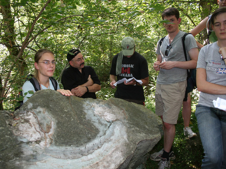
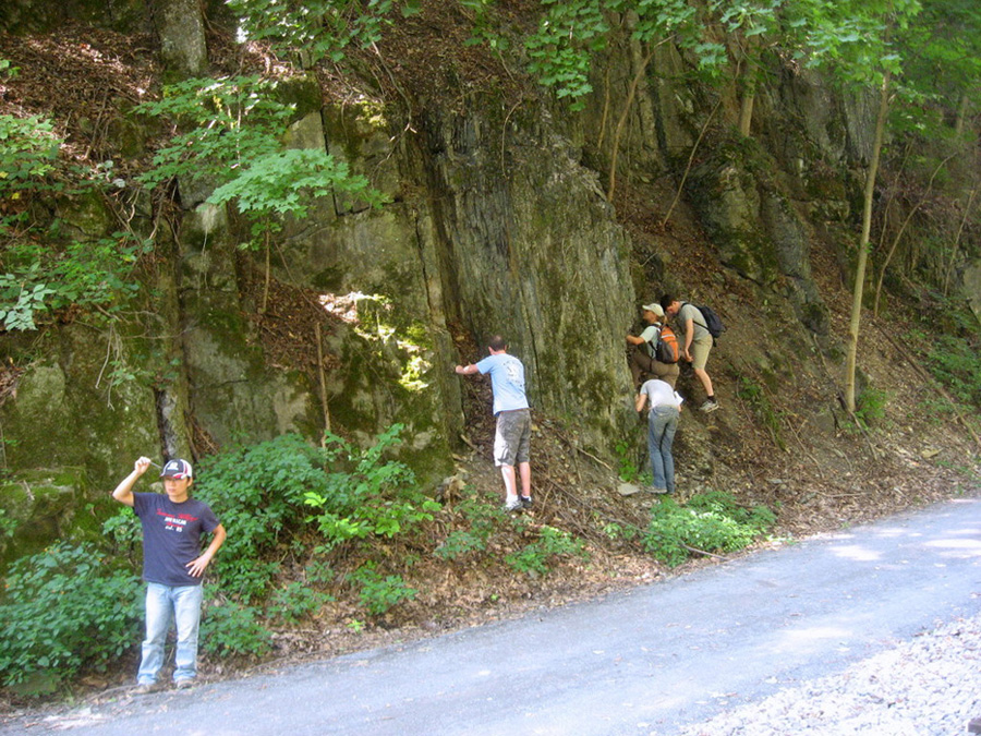
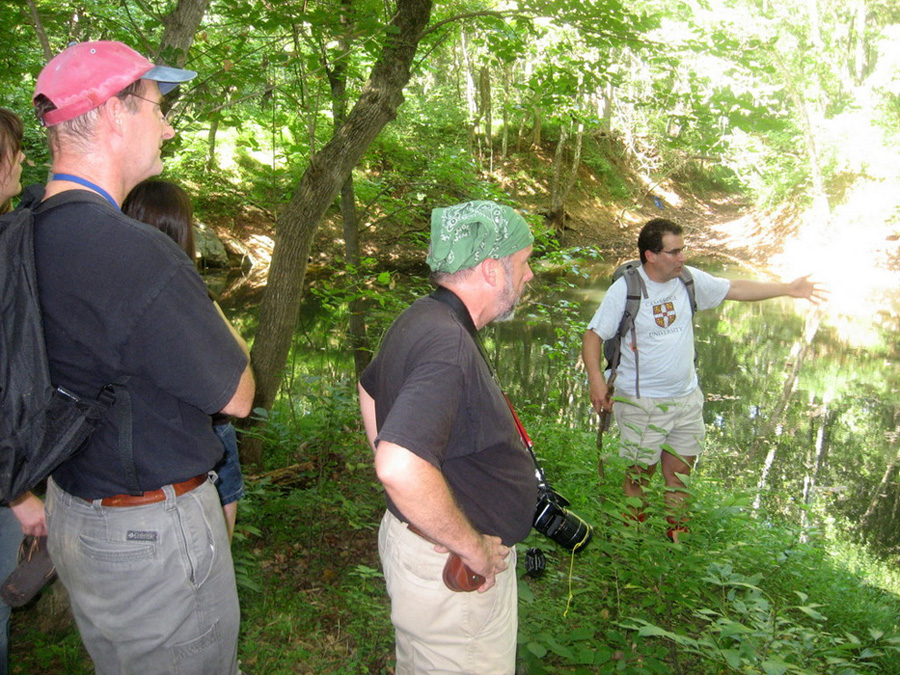
The last stop on the field trip (led by Prof. Jay Kaufman) was in northern Virginia near Aldie along Goose Creek (the site of a Civil War battle just before Gettysburg). After fording the creek and cooling our feet we made our way through the thick vegetation to a carbonate quarry containing both marble (found along Lime Kiln Road) and volcanic rocks. In the quarry walls and in blocks dumped above the quarry we observed (and discussed) the likelihood of a soft sediment contact of the late Ediacaran Period carbonate at the top of the glaciogenic Fauquier Formation with the flood basalt of the Catoctin Formation. Previous radiometric constraints on mid-Ediacaran Period glaciation in Newfoundland narrowed the known temporal gap between widespread ice ages and the evolution of complex metazoans to several million years. To further evaluate this claim we studied an Ediacaran glacial diamictite at the base of the Fauquier Formation of northern Virginia, and discovered a conformable relationship between the postglacial cap carbonate and overlying volcanic rocks of the Catoctin Formation. U/Pb zircon age constraints for the rift-related volcanic flows suggest initial emplacement around 571 million years ago. Application of the Catoctin age to the Fauquier succession indicates the occurrence of an ice age about 10 million years younger than the 582 Ma ice age in Newfoundland, supporting the view of multiple Ediacaran Period glaciations. Furthermore, the age constraint from eastern Laurentia falls within radiometric uncertainty of fossiliferous strata in Avalonia, indicating that the Fauquier glaciation was coincident with early metazoan evolution (Hebert et al., 2010 in Precambrian Research).
The tired but exhilarated crew returned to the Geology Building around 7 p.m. on Sunday, unpacked, and went home to prepare for the new semester starting on Monday.